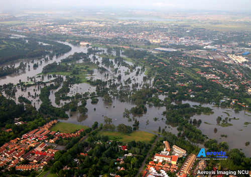
This module introduces a variety of meteorological and hydrological products that can improve the quality of heavy rainfall forecasts and assist with hydrological management during extensive precipitation events in Southern Africa. Among the products are the satellite-based ASCAT, SMOS, and ASAR GM soil moisture products and the hydro-estimator. The products are presented within the context of a case, the flooding of South Africa’s Vaal Dam region in 2009/2010.
Go to the module on the COMET website.

RA-I MTG Satellite Imagery Interpretation Course 2026 / RA-I Interpretation de l’imagerie satellitaire MTG 2026
Version en français ci-dessous The Satellite Imagery Interpretation courses are coming again in 2026. The online course on MTG Satellite