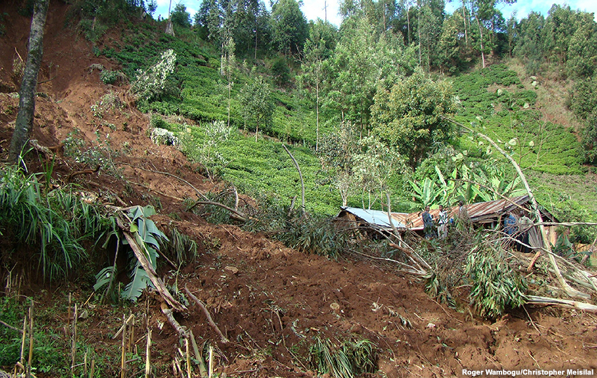
Good rainfall draws many people to settle across the eastern Africa highlands for farming and other businesses. However, factors such as steep terrain, logging, livestock grazing, agriculture, and construction, have increased erosion and contributed to less stable slopes. These factors can lead to devastating landslides and mudslides, especially during episodes of very heavy rain. Forecasting and monitoring heavy rainfall is challenging, especially in mountainous regions that have few surface observations. This make satellite data critical for meteorologists and hydrologists forecasting for these areas. This lesson provides background information and a case study on how to use MSG satellite imagery and derived products, numerical weather prediction output, climatology, and other data in the forecast process so early advisories can be delivered to government officials and the public. The lesson is intended for weather forecasters although hydrologists, other scientists, and students can profit from it as well.
Go to the module on the COMET website.


