
Satellite-Derived Climatology Products for Monitoring Convection Over West and Central Africa
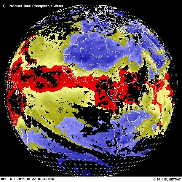
A weather forecaster’s knowledge of climatology is important to the success of a forecast, especially where convection is involved. That’s particularly true over Central and West Africa, where convection has a strong diurnal cycle and usually develops over particular geographic regions and during specific time intervals. The lesson describes satellite-derived cloud climatology products and several […]
Basic Satellite Imagery Interpretation
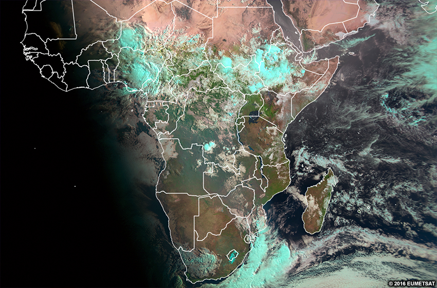
This lesson teaches the basics of satellite image interpretation to forecasters, meteorology students, and other interested learners, with an emphasis on the African region. It begins by briefly describing visible, infrared, and water vapour channels, as well as RGBs and derived products. From there, it teaches learners how to interpret clouds and surface features using […]
Interprétation de base de l’imagerie satellitaire
Cette leçon enseigne les bases de l’interprétation des images satellites aux prévisionnistes, aux étudiants en météorologie et aux autres apprenants intéressés, en mettant l’accent sur la région africaine. Elle commence par décrire brièvement les canaux visible, infrarouge et vapeur d’eau, ainsi que les RVB et les produits dérivés. Ensuite, il enseigne aux apprenants comment interpréter […]