
Ports of Forecasting: Marine Weather Exchange
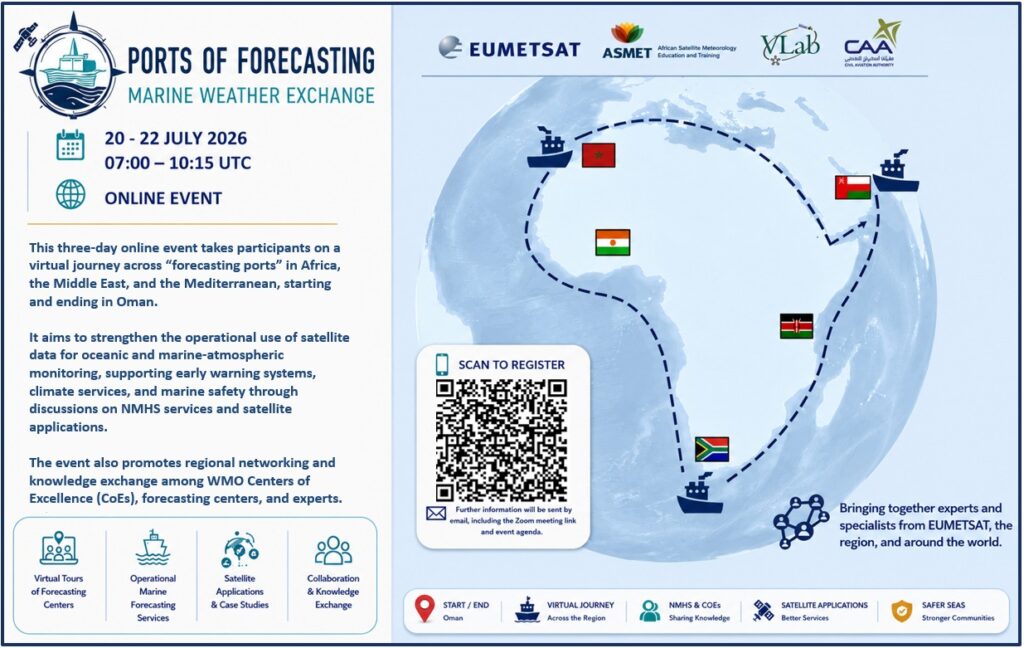
Register: https://eumetsat.zoom.us/meeting/register/zyvQYc0rSJCSAQTW77Sp6g Welcome to participate in this three-day online event takes participants on a virtual journey across “forecasting ports” in Africa, the Middle East, and the Mediterranean. It aims to strengthen the operational use of satellite data for oceanic and marine–atmospheric monitoring, supporting early warning systems, climate services, and marine safety through discussions on NHMS […]
RA-I MTG Satellite Imagery Interpretation Course 2025
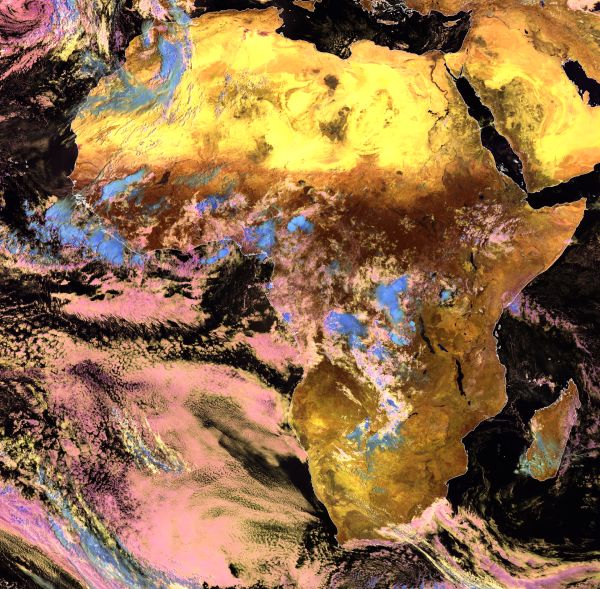
The online course on MTG Satellite Imagery Interpretation will take place 17 March-4 April 2025. It is offered in English language, by the ASMET instructors from IMTR Kenya, SAWS South Africa and EUMETSAT. This course helps you to improve skills in using MTG satellite imagery for identifying various weather and surface features in Africa. The […]
RA-I Interpretation de l’imagerie satellitaire MTG
Le cours en ligne sur l’interprétation de l’imagerie satellitaire MTG se déroulera du 31 mars au 18 avril 2025 en français par des instructeurs ASMET de la DGM Maroc, de l’EAMAC Niger et d’EUMETSAT. Ce cours d’interprétation d’images satellites MTG vous permettra d’améliorer vos compétences en matière d’accès et d’utilisation de la nouvelle génération, l’imagerie […]
Two satellite courses for African forecasters delivered by IMTR
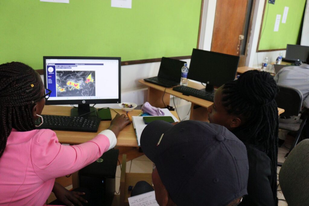
The Institute of Meteorological Training and Research in Nairobi, Kenya, recently organised two in-person training courses for African forecasters. Over the course of two weeks more than 40 participants improved their understanding & skills in using satellites in forecasting and nowcasting. The first course on Satellite Applications was delivered 26 February–1 March 2024 and gathered […]
RA-I Cours Intérpretation de base de l’imagerie satellitaire
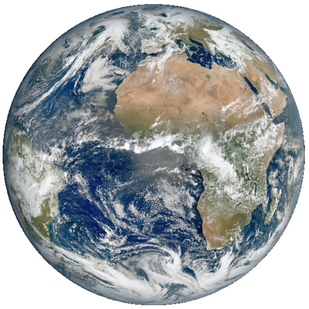
Le cours en ligne sur l’interprétation de base de l’imagerie satellitaire se déroulera du 6 au 24 mai 2024. Il est proposé en anglais et en français par des instructeurs ASMET de la DGM Maroc, de l’EAMAC Niger, d’EUMETSAT, de l’IMTR Kenya et du SAWS Afrique du Sud. Ce cours vous permet d’améliorer vos compétences […]
RA-I Basic Satellite Imagery Interpretation Course 2024
The online course on Basic Satellite Imagery Interpretation will take place 6-24 May 2024. It is offered both in English and French language, by the ASMET instructors from DGM Morocco, EAMAC Niger, EUMETSAT, IMTR Kenya and SAWS South Africa. This course helps you to improve skills in using basic, generally available satellite imagery for identifying […]
Online training on nowcasting tools using EUMETSAT satellite products for the NMHSs in African countries
The World Meteorological Organization (WMO), in collaboration with the State Meteorological Agency of Spain (AEMET), is organizing an online training on nowcasting tools using EUMETSAT satellite products for the National Meteorological and Hydrological Services (NMHSs) in African countries. The workshop is supported through the Climate Risk and Early Warning Systems (CREWS) initiative funded projects in […]
Webinar on hydrology in Africa (recording)
Monitoring and managing water resources, particularly in arid and semi-arid regions, are crucial for the wellbeing of communities. Africa, as the most vulnerable continent to the adverse impacts of climate change, faces challenges such as changing rainfall patterns, increased frequency of extreme weather events, and floods. This webinar was held in August 2023 and discussed […]
Over 130 participants took part in the Basic Satellite Courses
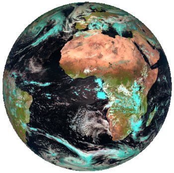
The online courses on Basic Satellite Imagery Interpretation in English and French language took place 15 May – 2 June 2023. The course was offered by ASMET instructors from DGM Morocco, EAMAC Niger, EUMETSAT, IMTR Kenya and SAWS South Africa. The enrolments to this course were high: over 70 participants took part in the course […]
New training opportunity: 2022 Meteorological Satellite Applications for Nowcasting
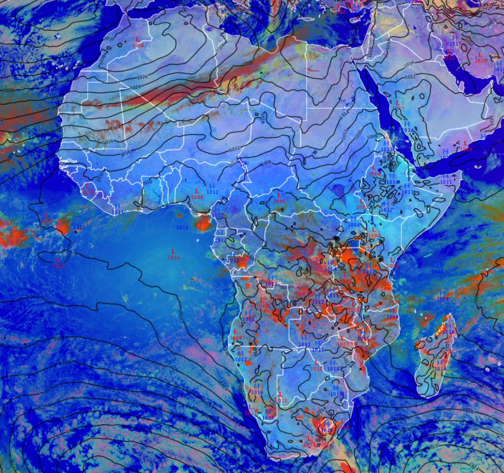
Addressing instructors in satellite meteorology, operational forecasters and experienced satellite data users, this online course on satellite applications for nowcasting (forecasting in 0-6 hour time range) will help you improve your skills in identifying key weather systems and features found in Africa. Selected synoptic scale as well as mesoscale weather systems will be addressed. The […]