
What is EUMETView?
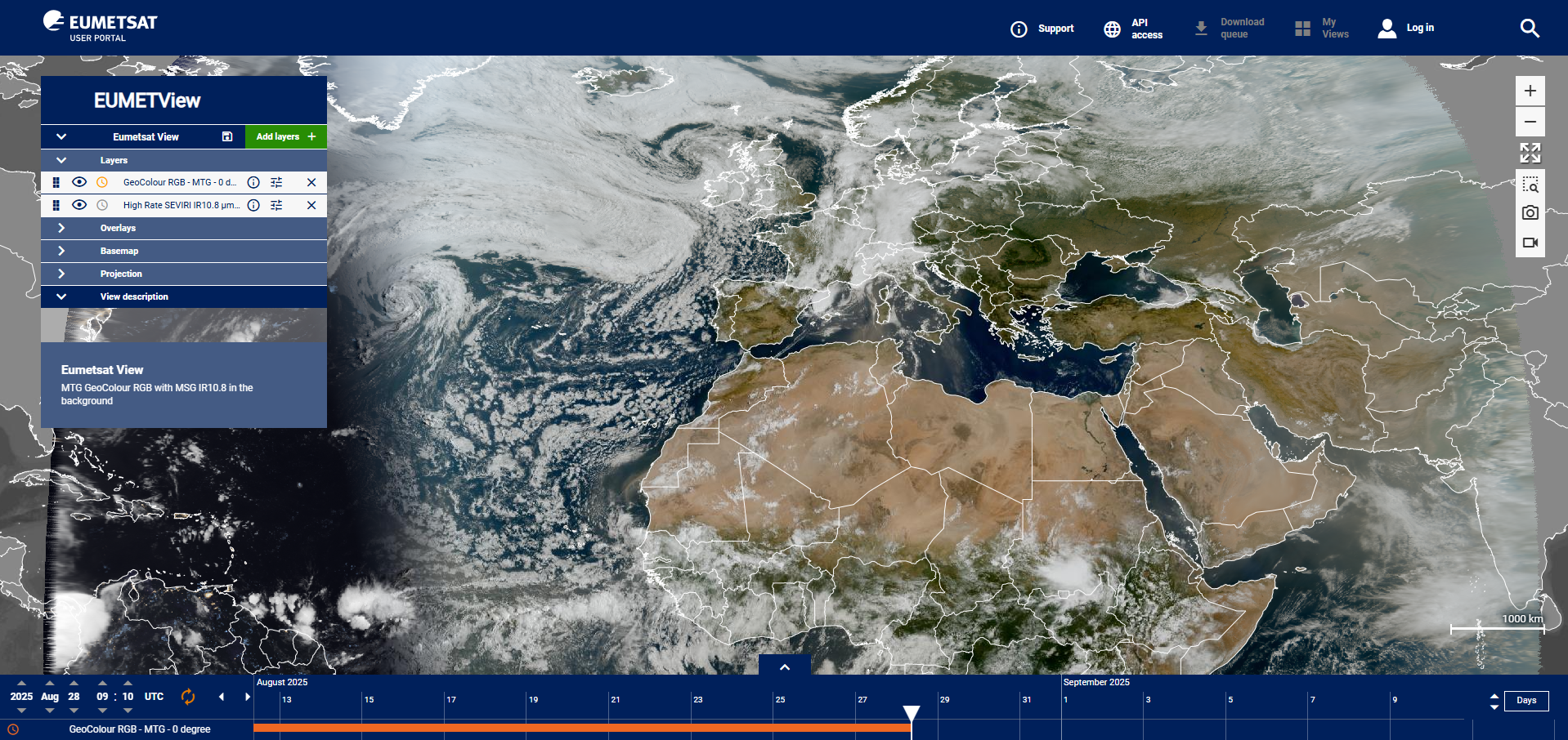
EUMETView is an Online Map Service (OMS) that provides data visualisation through a customisable web user interface (WebUI) and an enhanced set of Open Geospatial Consortium (OGC) standard application programming interfaces (APIs).
The EUMETView WebUI allows you to personalise your data viewing, and to save your settings for future use. Data can be viewed as either point-based information, and as time series. Maps, and their corresponding geo-referenced products, can be animated and downloaded.
Access User Guides and other resources here.