Weather system exercises

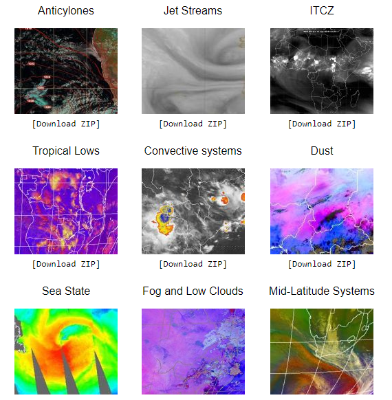
Below you can access nine exercises which teach forecasters how to identify various synoptic scale and mesoscale systems and features and their characteristics in satellite imagery and products.
They include Anticyclones, Jet streams, ITCZ, Tropical lows, Convective systems, Dust, Sea state, Fog and low cloud, Mid-latitude systems. For each one of the these topics, students work through a series of guided exercises on their own. These are supplemented by group discussions of related questions. Note that the cases only address system/feature identification in satellite imagery and do not cover forecasting.
If you want to use the exercises locally, you can download each exercise as a zipped file.
Go to the exercises.


