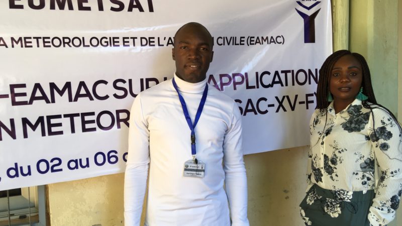
English French News Training Events Two E-SAC EAMAC course participants reflect on their course experience / Deux participants au cours E-SAC EAMAC partagent leur expérience 12 December 2019
Photo showing damage from a high swell event on the Moroccan coast; credit: H. Bouksim COMET Standard Terms of Use ASMET 8 French North Africa Online module Sea state Phénomènes extrêmes de forte houle sur les côtes atlantiques marocaines 19 July 2019
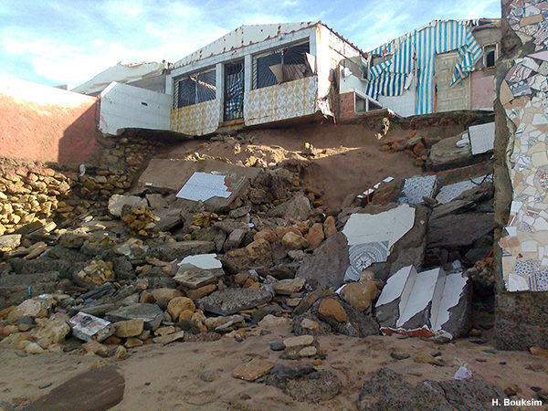
Photo showing damage from a high swell event on the Moroccan coast; credit: H. Bouksim COMET Standard Terms of Use ASMET 8 English North Africa Online module Sea state Extreme High Swell Events on the Moroccan Atlantic Coast 19 July 2019
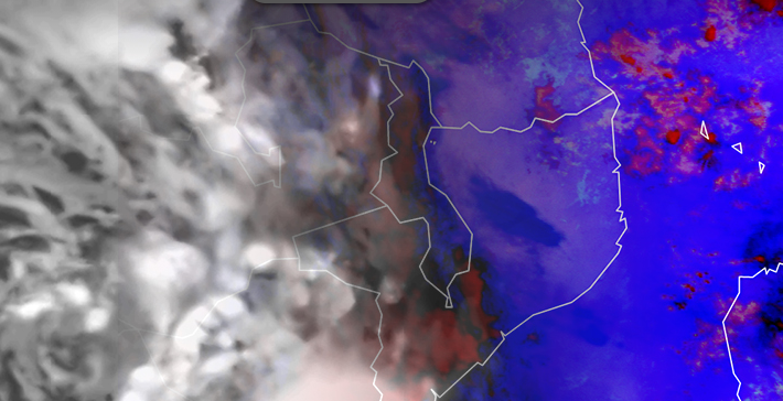
EUMETSAT natural colour RGB over Africa, 0600 UTC 27 Jul 2016, © 2016 EUMETSAT COMET Standard Terms of Use ASMET 10 French Online module Interprétation de base de l’imagerie satellitaire 19 July 2019
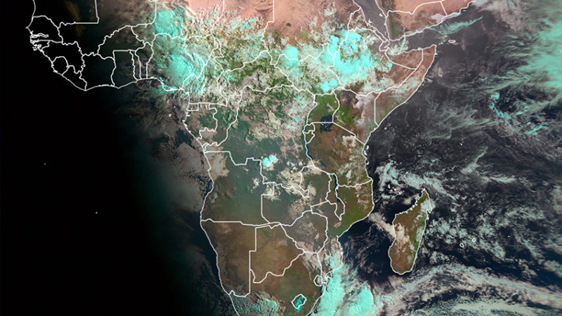
EUMETSAT natural colour RGB over Africa, 0600 UTC 27 Jul 2016, © 2016 EUMETSAT COMET Standard Terms of Use ASMET 10 English Online module Basic Satellite Imagery Interpretation 19 July 2019
Day Natural Colour RVB d'EUMETSAT sur l'Afrique, 0600 UTC 27 Jul 2016, © 2016 EUMETSAT ASMET 10 French Online module Interprétation de base de l’imagerie satellitaire 19 July 2019