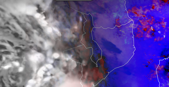
NWP is one of the most important forecasting tools in our toolbox. Yet identifying when/where it isn’t capturing reality is difficult. In the short-term forecasting range, it is important as a forecaster to identify when/where NWP output isn’t matching reality. Then you can make appropriate changes to the forecast output.
To find those mismatches anywhere in the world, one of the best tools is satellite imagery. In this lesson, we will focus on a few cases using satellite imagery to help identify mismatched features/processes between the satellite imagery and the NWP.
Anyone trying to add value to short-term NWP forecasts could benefit from taking this lesson to learn a process for assessing NWP output compared to observations. This lesson focuses on fog and convection in Africa, however this lesson can apply to many other cases, and is generalized enough to help forecasters from anywhere in the world.
Go to the module on the COMET website.